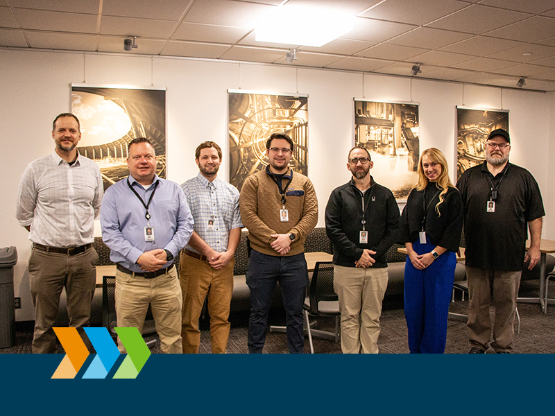
Basin Electric's GIS team: Bobby Nasset, supervisor of Civil Engineering; Jason Brekke, senior GIS analyst; Brady Spooner, GIS technician I; Andrew Guess, enterprise application architect I; Andrew Milas, enterprise application architect III; Shannon Vaira, GIS analyst; and James Scheitel, enterprise database administrator III.
Think back to a time before technology made finding the nearest gas station a snap. Many of us planned road trips with the help of a paper map, drawing lines and circling destinations along the route. For most, those days are long gone because of technological advances with geographic information systems (GIS). At Basin Electric, the team of GIS specialists makes sure we’re heading in the right direction to provide members with reliable electricity.
Basin Electric is on track to energize nearly 350 miles of high-voltage transmission line in western North Dakota by the end of 2026. This extensive transmission buildout prompted various teams across the cooperative to collaborate on routing, permitting, and design. The GIS team was charged with organizing project information which allows users to manage the course of a project in a more efficient way.
One might wonder what GIS specialists do and why they are such an important part of a project. GIS plays a critical role in siting new generation and transmission and many other areas of the cooperative. A GIS specialist uses computer programming to store, integrate, analyze, edit, and display geographical locations on an interactive map and is responsible for communicating the information to end-users. Communication can be done through web mapping applications, mobile applications, or hard-copy maps. An easy way to define GIS is that it is an information system with a geographic component, which allows a GIS specialist to display and analyze data modeled in the real world to solve problems or answer questions.
For transmission specifically, GIS is a system that allows the team to compile many different layers of geospatial information while also enabling end-users to interactively engage with relevant layers pertaining to their specific function.
Jason Brekke, Basin Electric senior GIS analyst, found his way into the GIS field during a time when there weren’t many GIS programs out there. Having declared a major in geography, Brekke decided to also take courses in remote sensing. He landed a cooperative education experience at the Upper Midwest Aerospace Consortium where he was introduced to satellite imagery. “This was my first introduction to real-world application of the software, and I was intrigued by it,” Brekke says. “At that point I knew this was something I would like to make a career out of.”
As a senior analyst, Brekke must ensure that all tasks the team receives for GIS services get completed accurately and on time. He spends time researching new workflows and implementing them in Basin Electric’s Enterprise GIS. He works closely with GIS team members within Information Services and Telecommunications (IS&T), who make sure Enterprise GIS is secure and reliable. “As a GIS professional, you have to dedicate time to keeping up on the technology. We work closely with our GIS IS&T staff to ensure we are optimizing the value of the software Basin Electric is paying for,” Brekke says.
There are few departments within the cooperative that the GIS team has not had the opportunity to work with and they are always looking for new customers and applications of the technology. “For example, we work with the tax group each year to review existing transmission lines and the most recent tax districts the counties provide in a GIS format,” Brekke says. A GIS study is completed to break down the amount of transmission mileage (by voltage) that intersects each tax district, and that number determines how many tax dollars are allocated to each district.
Transmission projects typically include multi-year planning efforts involving many different disciplines, including landowner feedback, public agencies, and other utilities and companies. Additionally, Basin Electric utilizes internal and external specialists in services such as right-of-way acquisition, geotechnical studies, archaeological and biological surveys, wetland delineation, construction, and reclamation. “GIS serves as a central repository for all of the geospatial layers produced by Basin Electric and external entities,” Brekke says. “The layers are displayed so decision makers have the best information available, and more importantly, in a visualized geographical context.” GIS also organizes all the information needed for transmission line permitting.
“The custom applications and advancements with the GIS enterprise system have changed the way we approach and manage projects,” says Bobby Nasset, Basin Electric Civil Engineering supervisor. “We have built a project management dashboard that dynamically updates as the project progresses through each stage.” When routing a transmission line, the engineering team can add new route alternatives and structure locations that are immediately available to the project team. Easement acquisition and survey permission status are updated in real time, which creates efficiencies for iterations required for project decisions.
“We also upload existing requirements from landowners or other utilities to the GIS so they are available to contractors and the project team at all times,” Nasset says. “For example, a contractor can see where pipeline crossings are, and open our crossing agreement with the pipeline company at the location to double check all requirements for the crossing. During construction, the GIS dashboard is updated by our field coordinators so we have real-time progress updates to track project costs and schedule.”
Communication is at the forefront of any project and is especially important when it comes to building new transmission infrastructure. Weekly project meetings keep everyone on task. Additionally, the GIS team hosts quarterly meetings for their end users. The meetings allow customers within Basin Electric to share how they are using the technology with other areas of the cooperative and allow the GIS team an opportunity to share what it is working on and provide updates on what’s new.
GIS recently helped complete work on the Neset-to-Northshore project, which consisted of 27 miles of 230-kilovolt (kV) transmission line and a new substation. Currently, the GIS team is doing its part in the completion of several up-and-coming transmission line projects including the Roundup-to-Kummer Ridge 345-kV transmission line, the Leland Olds Station-to-Tande 345-kV transmission line, and two new 230-kV circuits from the Wheelock and Tande substations to the Canadian border.
Brekke says the best part about his job is that anytime a new project is being considered, the GIS team will get requests for GIS services. “I learn something new every day, and it keeps me in the loop on what may be on the horizon for Basin Electric. I’ve said many times to coworkers that project work is my favorite. I like the fast pace of project work and the daily challenges it can present, and I enjoy collaborating with GIS team members who work in different departments of the cooperative.”
Basin Electric wants all interested and qualified candidates to apply for employment opportunities. If you are an applicant with a disability who is unable to use our online tools to search and apply for jobs, or who needs other assistance or accommodations, please contact us at 701-223-0441. Please indicate the specifics of the assistance needed or provide your contact information, and a Basin Electric Human Resources representative will contact you. Basin Electric is an Equal Employment Opportunity Employer regarding race, color, religion, sex, sexual orientation, gender identity, national origin, disability, and veterans status.